
Mountain Hiking in Vietnam: Best Peaks, Trails & Hiking Guide
Journey to the rugged northern frontier of Vietnam and conquer Southeast Asia's most majestic alpine peaks. This definitive high-altitude guide explores legendary summit trails across the Hoang Lien Son range, including Mount Fansipan, Ngu Chi Son, Ky Quan San, Lao Than, and the remote border wilderness of Pu Si Lung. Discover expert insights on vertical elevation profiles, technical scramble grades, seasonal weather windows, high-altitude gear requirements, and essential acclimatization protocols for an extraordinary mountain expedition.
On this page
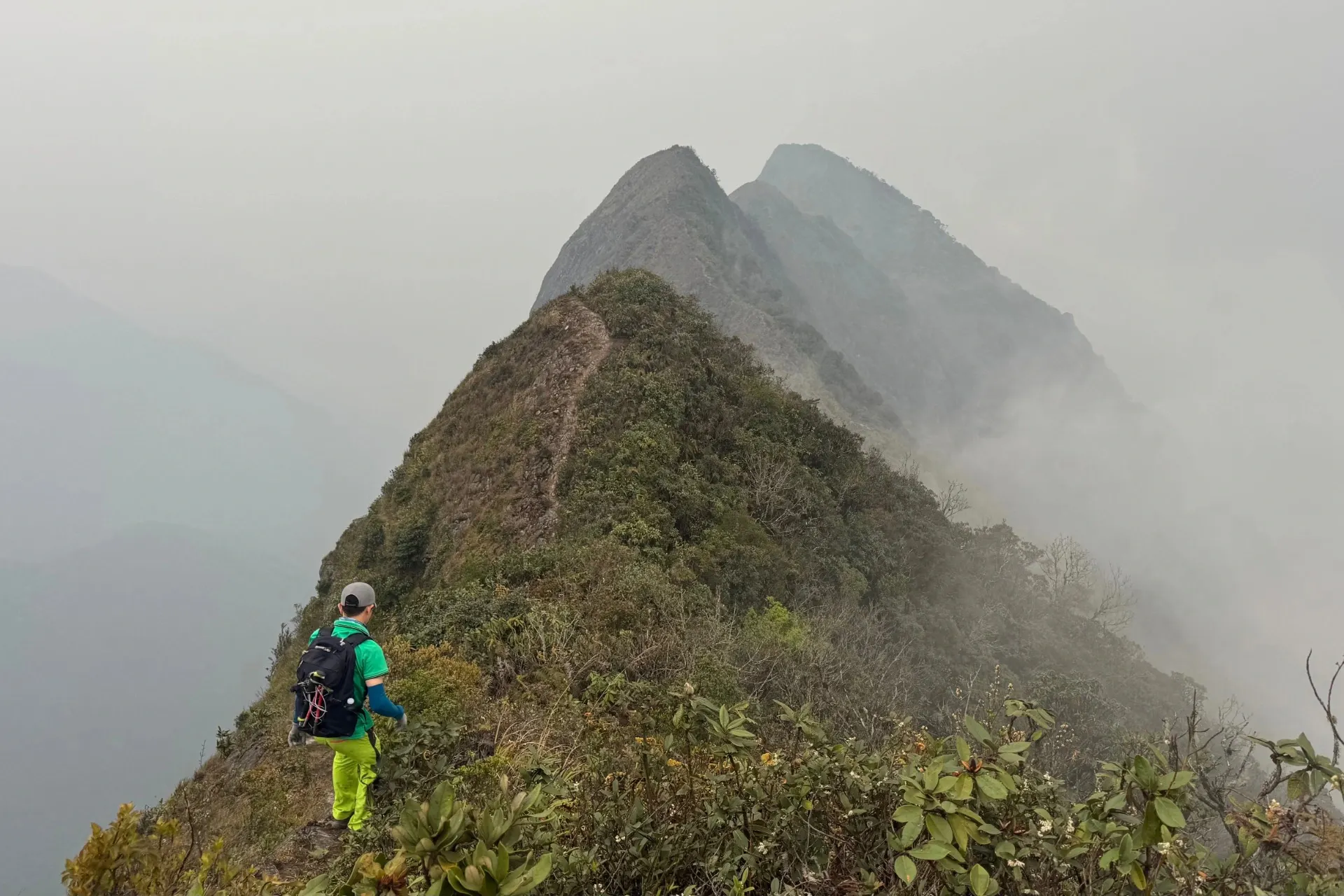
To stand atop the soaring, granite-ribbed summits of the northern frontier is to witness a realm where the Earth tilts dramatically toward the sky. Extending across the northwest corner of the country, the mighty Hoang Lien Son range—the easternmost extension of the Himalayas—forms an alpine sanctuary characterized by razor-sharp ridges, dense bamboo jungles, and churning seas of cloud. For high-altitude mountaineers and wilderness endurance athletes, engaging in Mountain Hiking in Vietnam: Best Peaks, Trails & Hiking Guide reveals a demanding vertical world that challenges conventional perceptions of Southeast Asian landscapes. Conquering these jagged peaks requires far more than basic physical fitness; it demands a disciplined approach to expedition logistics, acute awareness of volatile microclimates, and a deep respect for high-altitude safety. Whether navigating exposed knife-edge ridges or ascending through misty treeline transitions, mastering mountain hiking in Vietnam provides an exhilarating encounter with some of the most rugged, beautiful, and unforgiving alpine terrain in Asia.
The Hoang Lien Son Giants – Fansipan and Beyond
Navigating the Iconic Fansipan Hiking Route
Dominating the northwestern horizon at 3,147 meters above sea level, Mount Fansipan stands as the ultimate objective for high-altitude trekking in Vietnam. While modern infrastructure exists near the peak, undertaking the traditional, foot-based Fansipan hiking route from Tram Ton Pass remains a formidable mountaineering challenge. The trail profile demands a relentless climb through dense sub-tropical rain forests before crossing steep bamboo zones and reaching exposed granite ridgelines. Navigating this steep incline requires sound cardiovascular endurance and systematic acclimatization, as rapid elevation gain over short horizontal distances can trigger early symptoms of acute mountain sickness. Hikers must negotiate vertical rock scrambles, wooden ladders pinned to sheer cliff faces, and slick mud channels carved into the mountain slope. Proper physical training for mountain hiking within the northern Vietnam mountains should focus heavily on eccentric leg strength, core stability, and weighted step-ups, ensuring your body can withstand hours of continuous vertical propulsion.
Technical Demands of the Ngu Chi Son Peak Trek
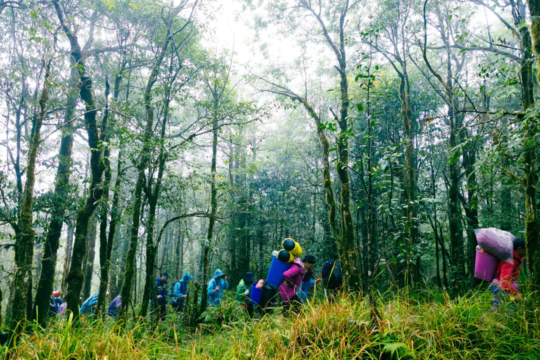
For mountaineers seeking a more technically complex ascent, the Ngu Chi Son peak trek presents one of the most demanding physical tests in the entire region. Named after its five distinct granite pinnacles that resemble fingers pointing toward the sky, this peak reaches an elevation of 2,858 meters and features extreme topographical intensity. The trail cuts through dense jungle undergrowth before emerging onto near-vertical rock chimneys that require three-point contact scrambling and careful route-finding. The final approach to the main summit involves exposed ridge walking along narrow granite ledges with severe drop-offs on either side, where gusting high-altitude winds increase the risk of overexposure. Mastering this peak requires absolute mental focus, surefooted agility, and specialized high-traction footwear, placing Ngu Chi Son among the absolute best alpine hikes Vietnam has to offer for experienced mountaineers.
Ridge-Walking and Cloud-Surfing in the Northwest
The Atmospheric Lao Than Peak Trek
Situated in the Y Ty region of Lao Cai province, Mount Lao Than reaches an altitude of 2,860 meters and is widely celebrated for its spectacular cloud-inversion phenomena. The Lao Than peak trek offers a slightly more moderate gradient compared to its steeper neighbors, following gentle grassy slopes, shrub-covered ridgelines, and burned forest zones. Despite its manageable elevation gain, the peak exposes hikers to the full force of northern alpine weather, where sweeping cloud layers settle into the valleys below, creating the sensation of walking across an ocean of white mist. This atmospheric stability makes Lao Than a prime destination for high-altitude photography and an ideal training ground for hikers transitioning from low-elevation day walks to multi-day alpine expeditions.
Mastering the Ky Quan San Hiking Trail
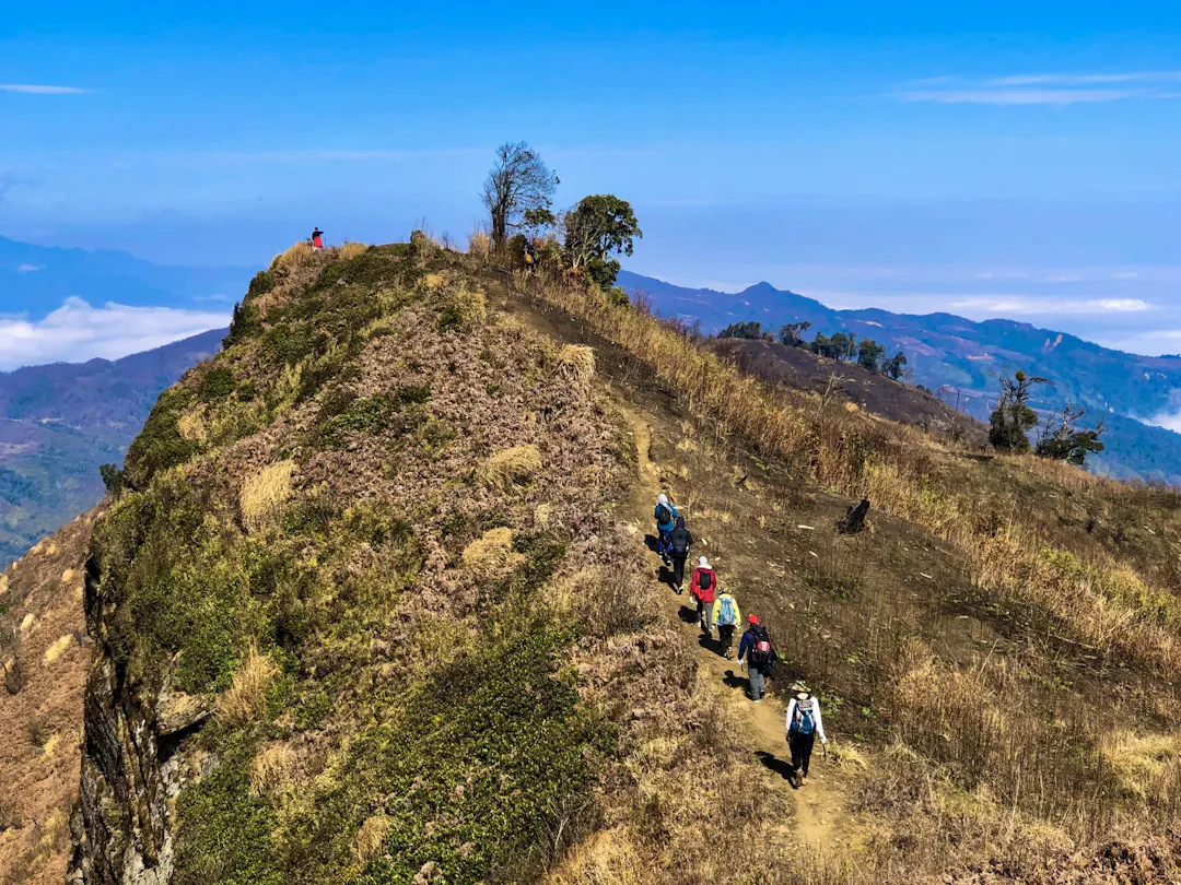
In contrast to the gentle slopes of Lao Than, the Ky Quan San hiking trail—historically known as Bach Moc Luong Tu—is an arduous, forty-kilometer round-trip expedition that reaches an elevation of 3,046 meters. The defining characteristic of this trail is the infamous Muot Ridge, a razor-sharp, exposed spine of rock that demands exceptional balance and mental fortitude to cross. Climbers must scramble over steep granite slabs while carrying heavy packs, exposed to sudden wind gusts and steep precipices. Executing this hike requires using high-performance trekking gear for high altitude environments, including rigid-soled mountaineering boots, lightweight carbon trekking poles, windproof hardshell jackets, and reliable thermal base layers. The physical strain of climbing Ky Quan San is rewarded at the high camp at 2,100 meters, where mountaineers witness dramatic sunrises over an unbroken sea of clouds stretching across the horizon.
Deep Wilderness – Pu Si Lung and Remote Frontiers
Executing a Pu Si Lung Hiking Tour
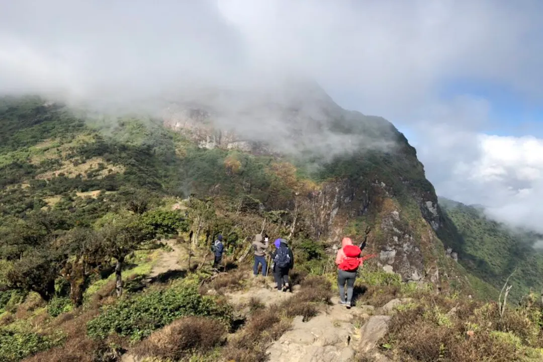
Positioned directly along the international border between Vietnam and China in Lai Chau province, Mount Pu Si Lung towers at 3,083 meters, representing the pinnacle of remote, self-sufficient expedition trekking. Undertaking a Pu Si Lung hiking tour is a massive undertaking that covers over sixty kilometers of wild, unpaved terrain over four grueling days. Because the trail passes through restricted border zones, expedition teams must secure official border permits from regional military commands and navigate with experienced local indigenous guides, typically from the Dao or Ha Nhi ethnic groups. The route demands crossing deep river canyons, hacking through dense primary rainforests, and enduring long, solitary ridge traverses where no rescue infrastructure exists. Conquering this remote giant represents the ultimate badge of honor for endurance hikers pursuing true wilderness exploration in Southeast Asia.
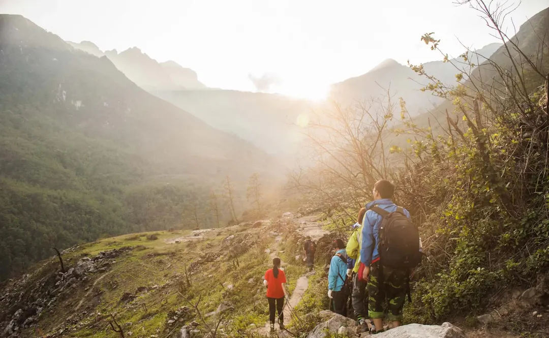
Managing Exposure on Remote Mountain Passes
Operating in the isolated borderlands surrounding Pu Si Lung and other remote mountain passes Vietnam requires strict risk management protocols and complete self-reliance. At elevations exceeding 2,500 meters, microclimates change rapidly without warning; a clear, sunny morning can instantly devolve into a freezing downpour accompanied by dense fog and hypothermic winds. Expedition leaders must monitor atmospheric pressure shifts, enforce mandatory warm-layer protocols before fatigue sets in, and maintain strict group cohesion during technical trail segments. Carrying satellite communication equipment, comprehensive wilderness trauma kits, emergency bivouac shelters, and high-calorie rations is essential for mitigating risks in regions where medical evacuation can take days to coordinate.
Operational Strategy, Gear, and Safety
The Essential Trekking Gear for High Altitude
High-altitude environments in the northern mountains demand a technical, multi-layer clothing system engineered to manage moisture, retain body heat, and block piercing mountain winds. The foundational base layer must consist of hydrophobic merino wool or high-performance synthetics that pull sweat away from the skin during strenuous climbs. The insulating mid-layer should feature lightweight fleece or high-loft down jackets, topped with a fully waterproof and windproof hardshell jacket featuring sealed seams. Footwear selection is equally critical: mid-to-high-cut mountaineering boots with rigid shanks and deep Vibram lugs provide essential ankle support and grip on slick mud and wet granite. Additionally, high-output headlamps, UV-blocking sunglasses, dry bags, and ergonomic trekking poles are essential tools for maintaining physical efficiency and safety on steep terrain.
Determining the Best Season for Mountain Trekking Vietnam
Selecting the correct weather window is vital when planning high-altitude expeditions in the Hoang Lien Son range. The best season for mountain trekking Vietnam spans from late October through April. During the winter months (November to February), atmospheric conditions are typically dry and cool, offering exceptional visibility above the cloud line, though summit temperatures frequently drop below freezing and can produce localized frost. The spring window (March to April) delivers milder temperatures and blooming rhododendron forests, though humidity levels begin to rise. Conversely, the summer monsoon season (May to September) should be strictly avoided for high-altitude peaks; heavy torrential rains trigger dangerous landslides, flash floods, and turn steep earthen trails into impassable mud chutes, severely compromising safety.
Physical and Mental Preparation
Cultivating Expedition Readiness
Preparing your body for the physical demands of high-altitude mountain hiking requires a dedicated, structured training regimen initiated at least two to three months prior to departure. Physical conditioning should prioritize cardiovascular endurance through long-distance trail running, cycling, and rowing, combined with high-volume leg resistance training like weighted lunges, squats, and step-ups. Mental conditioning is equally vital; trekkers must cultivate psychological resilience to push through physical fatigue, cold rain, wet gear, and uncomfortable camp conditions. Participating in organized mountain camping tours Vietnam provides practical exposure to wilderness camp logistics, sleeping in high-altitude tents, and managing personal equipment in remote environments, ensuring you arrive at the trailhead fully prepared for the challenges ahead.
Ultimately, engaging in Mountain Hiking in Vietnam: Best Peaks, Trails & Hiking Guide reveals a dramatic, high-altitude wilderness that stands among the finest alpine regions in Southeast Asia. From the iconic summit of Mount Fansipan and the technical granite chimneys of Ngu Chi Son to the cloud-covered ridges of Ky Quan San and the untamed border passes of Pu Si Lung, these high peaks offer an unforgettable arena for personal accomplishment and wilderness exploration. Conquering these vertical frontiers requires meticulous preparation, technical gear, physical endurance, and absolute respect for mountain weather. By partnering with certified local guides, honoring environmental conservation ethics, and preparing your body and mind for the trail, you can experience the supreme thrill of standing atop Vietnam's highest points. Select your peak, prepare your gear, and launch your high-altitude alpine expedition today.

By Roy Trinh
Editor
Roy Trinh is a travel writer and destination expert at Go Visit Vietnam, dedicated to helping travelers discover the beauty, culture, and diversity of Vietnam. Through well-researched travel guides, practical itineraries, local insights, and authentic recommendations, Roy shares valuable information to inspire memorable journeys across the country. From vibrant cities and breathtaking landscapes to regional cuisine and cultural heritage, every guide is created to help visitors experience Vietnam with confidence and curiosity.
Frequently Asked Questions Mountain Hiking in Vietnam
How do I prepare physically for high-altitude mountain hiking in Vietnam?
Preparation should begin 8 to 12 weeks prior to your trek. Focus on cardiovascular endurance (trail running, cycling, rowing) combined with high-volume leg resistance exercises, particularly weighted step-ups, squats, and lunges while wearing a loaded backpack. Training on steep inclines or stairclimbers builds the necessary leg stamina and core stability needed for thousands of meters of vertical gain.
Do I need special permits or military clearance for peaks near the border like Pu Si Lung?
Yes. Mountains located along international frontiers—such as Pu Si Lung in Lai Chau province—require official border permits issued by provincial military commands and border guard stations. Independent trekking without official clearance is strictly illegal. Joining an authorized expedition with certified local high-altitude guides ensures all military permits, local registrations, and safety clearances are handled seamlessly.
What is the difference between hiking Mount Fansipan and Ky Quan San?
While Mount Fansipan is the highest peak in Indochina (3,147m) with steep, well-established forest and rock scramble routes, Ky Quan San (Bach Moc Luong Tu, 3,046m) is widely considered a more arduous, multi-day endurance trek. Ky Quan San features long, exposed ridge-walks along the razor-sharp Muot Ridge, requiring greater balance, heavy pack carries, and resistance to high-altitude winds.
Is acute mountain sickness (AMS) a serious risk on Vietnam's high peaks?
While Vietnam's highest summits top out around 3,000–3,150 meters (lower than the Himalayas or Andes), AMS symptoms such as dull headaches, nausea, and fatigue can still affect trekkers due to rapid vertical gain over short horizontal distances. Maintaining proper hydration, pacing your ascent, taking regular rest breaks, and avoiding alcohol at high camps effectively mitigates elevation risks.
What should I do if caught in a sudden storm while on an exposed mountain ridge?
Mountain microclimates in Northern Vietnam can shift rapidly. If caught in heavy rain or high winds on an exposed ridge, immediately put on your windproof/waterproof hardshell jacket and waterproof trousers. Drop elevation below the treeline or ridgeline crest if possible, maintain continuous contact with your group, use trekking poles for balance on slick granite, and follow your lead guide to the nearest designated high-altitude shelter.
Advertising box
Explore More Outdoor Adventures in Vietnam
Vietnam is an outdoor paradise, offering far more than hiking and trekking. From kayaking through emerald bays and cycling scenic countryside roads to caving in world-famous national parks, canyoning down waterfalls, rock climbing on limestone cliffs, and wildlife watching in protected reserves, there are adventures for every type of traveler. Explore our collection of expert travel guides to discover Vietnam's best outdoor experiences, find inspiration for your next adventure, and plan unforgettable journeys across the country's mountains, forests, rivers, coastlines, and national parks.
Jungle Trekking in Vietnam: Best Rainforest Treks & National Parks
Step beneath ancient tropical canopies and discover the untouched wilderness of Southeast Asia with this ultimate rainforest expedition guide. From the vast subterranean cave networks and limestone karst valleys of Phong Nha-Kẻ Bàng to the thousand-year-old botanical archives of Cúc Phương, misty cloud forests of Bạch Mã, and coastal island reserves of Cát Bà, explore Vietnam’s premier national parks. Learn essential gear recommendations, survival strategies, microclimate navigation, and eco-conservation protocols for an unforgettable deep-jungle adventure.
Easy Hikes in Vietnam for Beginners: Top Scenic & Family Trails
Exploring Vietnam’s stunning natural landscapes doesn't require technical climbing skills or grueling multi-day survival treks. This soft adventure travel guide highlights the country’s most accessible, beginner-friendly trails designed for novice walkers, active families, and leisure travelers. Discover gentle valley walks in Sapa and Mai Chau, pine-scented highland paths in Da Lat, coastal island boardwalks in Cat Ba, and misty cloud-forest loops in Bach Ma National Park, all offering breathtaking scenery with minimal physical strain.
Best Trekking Routes in Vietnam: Top Multi-Day Treks & Adventures
Embark on an epic journey across Southeast Asia's most dramatic landscapes with this comprehensive guide to multi-day trekking in Vietnam. From the misty terraced valleys of Sapa and the steep granite peak of Mount Fansipan to the rugged karst pinnacles of Ha Giang, primeval jungle caverns of Phong Nha, and sweeping pine ridgelines of Ta Nang-Phan Dung, discover top wilderness itineraries, essential gear requirements, seasonal timing, and expert guidance for an unforgettable outdoor expedition.
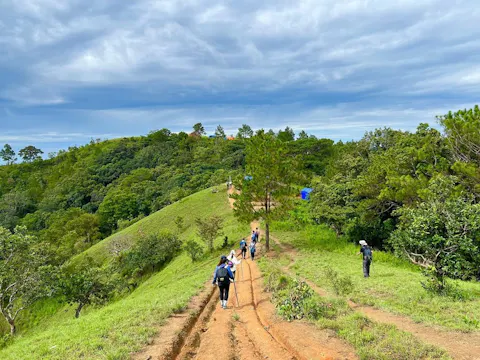
Best Hiking Trails in Vietnam: The Ultimate Wilderness Trekking Guide
From misty mountain valleys to deep subterranean caves, Vietnam offers some of Southeast Asia's most spectacular trekking routes. This definitive wilderness guide explores the best hiking trails across the nation, including the terraced paths of Sapa, the steep vertical ascent of Mount Fansipan, the primeval jungle caves of Phong Nha, the rugged karst limestone peaks of Ha Giang, and the sweeping ridgelines of Ta Nang Phan Dung. Discover essential expedition logistics, seasonal insights, and cultural etiquette for your next mountain adventure.
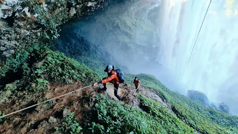
Hiking & Trekking in Vietnam: Best Trails, Routes & Travel Guide
Discover hiking and trekking in Vietnam through spectacular mountain trails, rice terraces, tropical forests, limestone karsts, national parks, and remote rural landscapes. From the famous Sapa and Fansipan trails to the rugged mountains of Ha Giang, jungle adventures in Phong Nha, and the scenic Ta Nang Phan Dung trek, Vietnam offers routes for different experience levels. Explore the best hiking destinations, trekking routes, seasons, difficulty levels, multi-day adventures, guided tours, safety advice, essential gear, and practical tips for planning your journey.
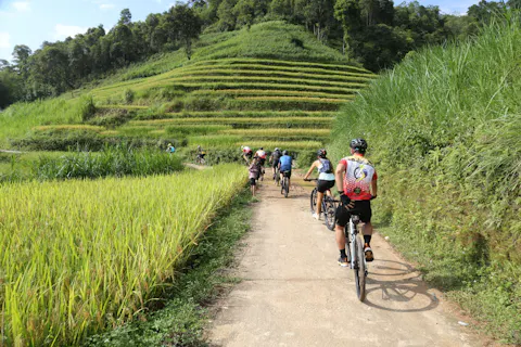
Cycling in Vietnam: Best Routes, Bike Tours & Travel Guide
Discover cycling in Vietnam through scenic mountain roads, peaceful countryside lanes, coastal routes, and vibrant river landscapes. From the challenging Ha Giang Loop and Hai Van Pass to the relaxed countryside of Ninh Binh, Hoi An, and the Mekong Delta, Vietnam offers cycling experiences for different fitness levels and travel styles. Explore the best cycling routes, recommended seasons, itineraries, bike tours, essential gear, safety advice, and practical tips for planning an unforgettable cycling adventure across Vietnam.